At the head of the Borthwick Water valley lies Craik Forest, a managed landscape where the presence or absence of infrastructure is never neutral. It is a material manifestation of institutional priorities. When Forestry and Land Scotland (FLS) removes a bridge to a historic site like the Wolfcleuch Waterfall, it is more than a maintenance decision; it is an act of administrative pruning that defines who—and what—belongs in the forest.
The Materiality of Abandonment
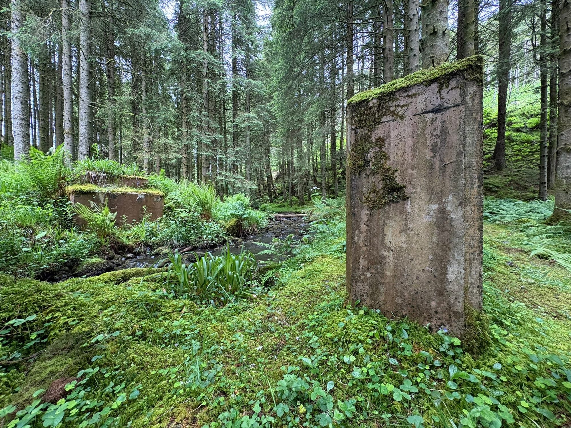
The concrete foundations remaining in the forest are not merely ruins; they are monuments to a decommissioned social contract. Ten years ago, the decision to remove the waterfall from official maps and strip away the bridges was framed through the clinical language of safety and liability. By removing the infrastructure, the institution effectively erased the "problem" of public access, transforming a communal landmark into a difficult-to-navigate site.
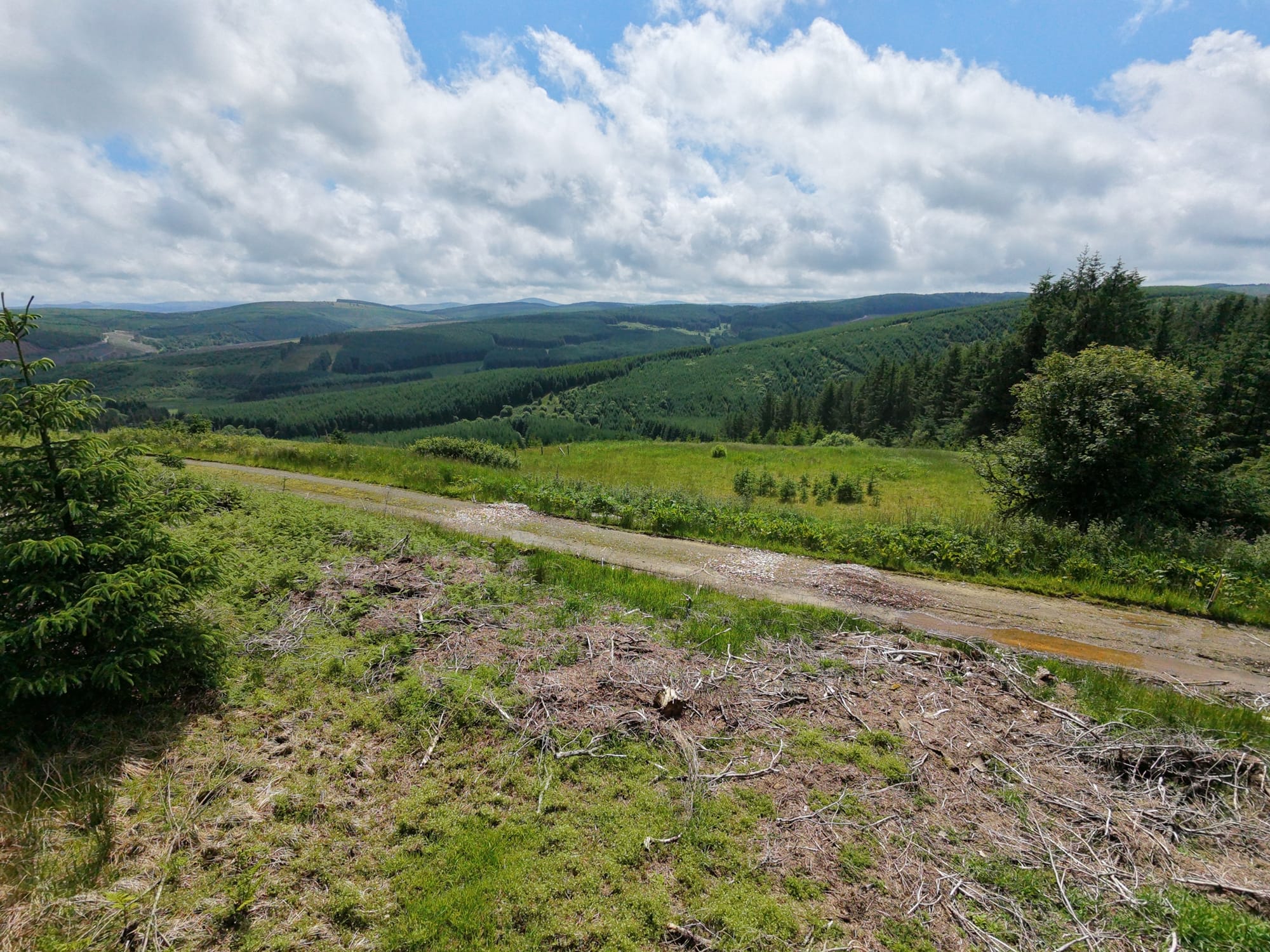
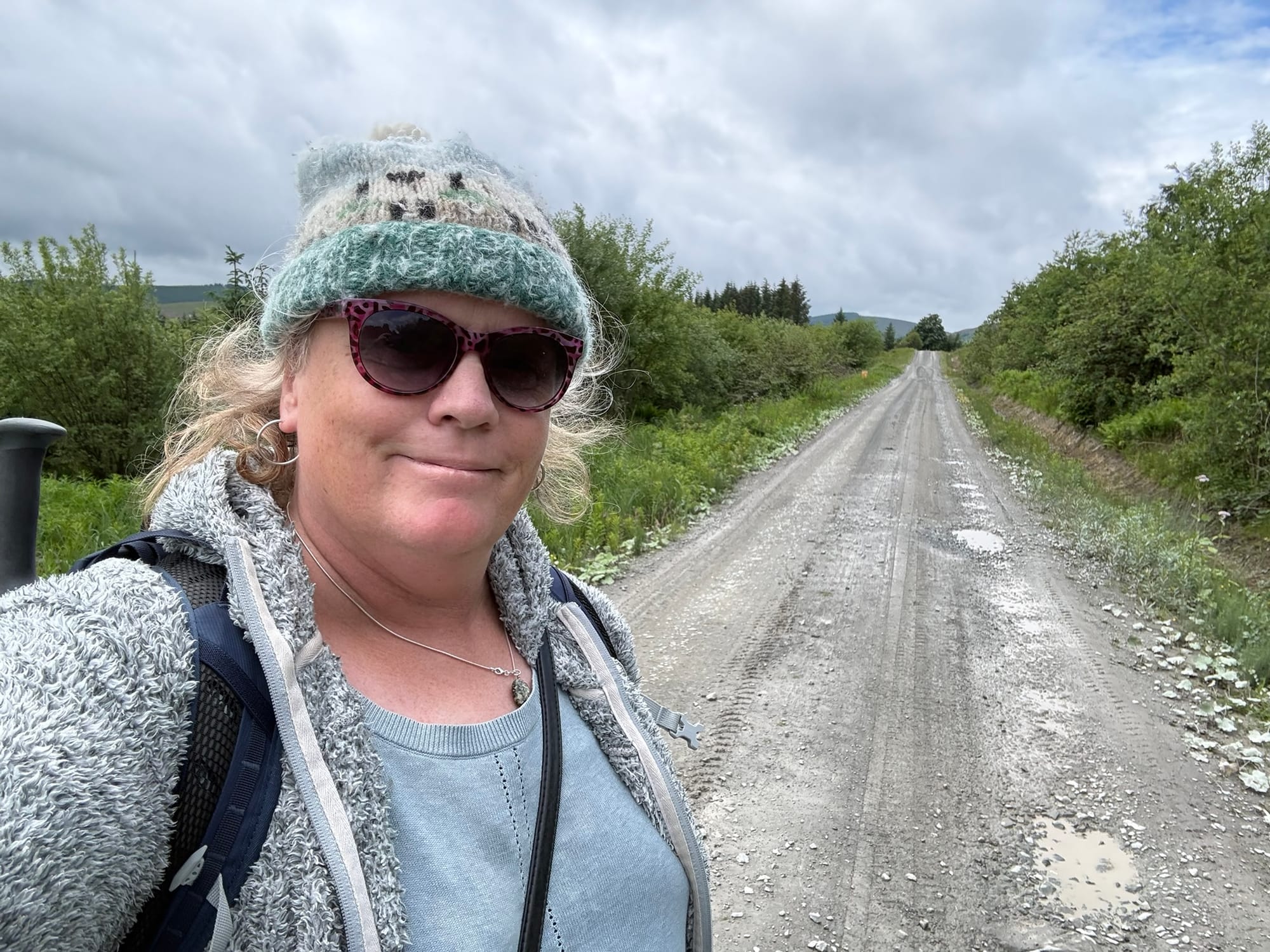
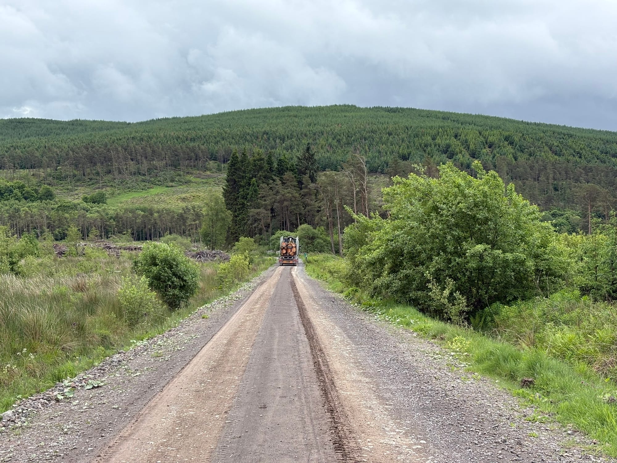
This neglect extends to the public access road into the forest, which has remained flooded for weeks. While the road is clearly serviceable for the heavy trucks and 4x4s required for industrial timber extraction, it has been allowed to deteriorate to a point that effectively bars entry for small public vehicles.
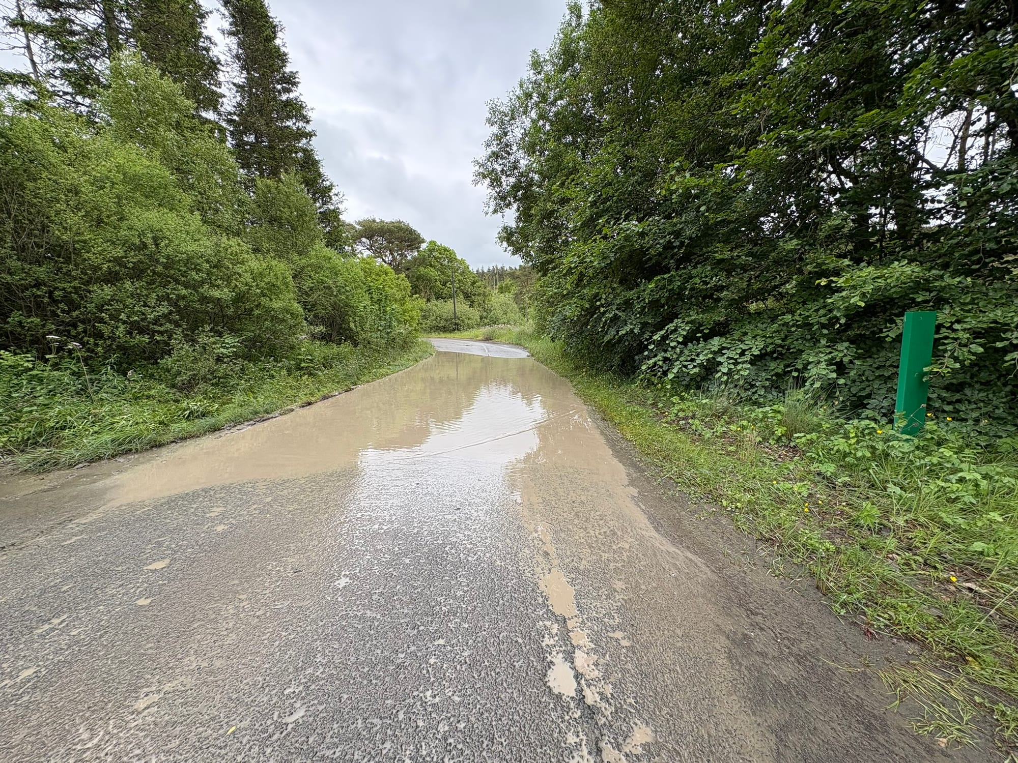
It is a stark material manifestation of the forest’s transition from a shared public space to an industrial zone, where infrastructure is maintained solely to facilitate extraction rather than human presence.
A Landscape of Erasure
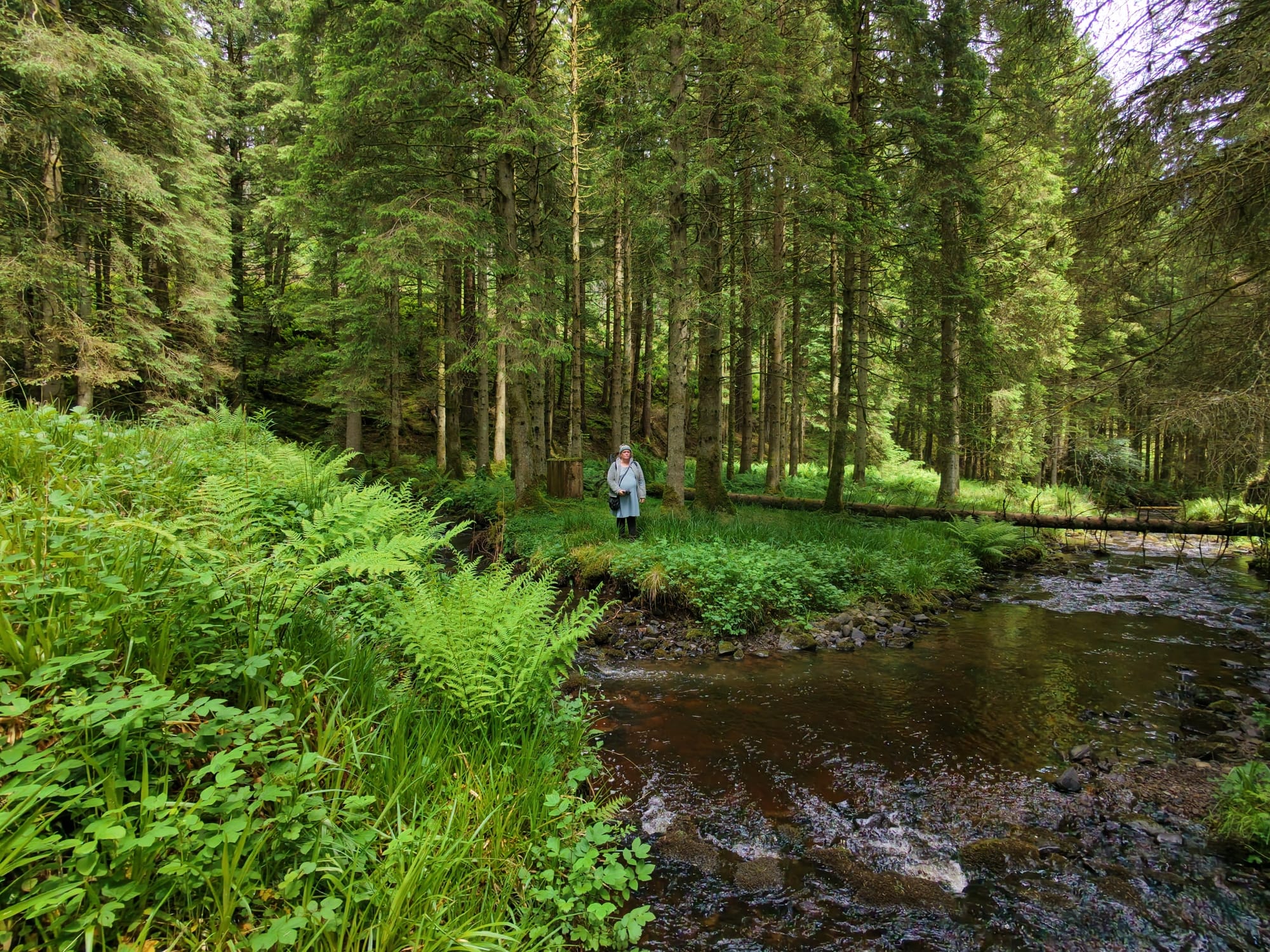
The history of Craik is not merely a record of forestry statistics; it is a narrative of a hamlet embedded within a vast, 31,000-acre woodland area. It is a landscape defined by the quiet, persistent resistance of its former residents. Most notably, the site where the home of a woman who refused to leave once stood—now an empty plot—serves as a primary example of this erasure. Before the house was razed by management following her death, it was a focal point of defiance against the encroaching institutional control.
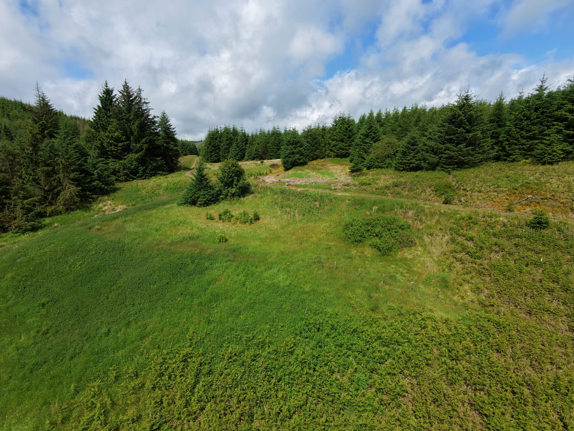
Looking out from that site, the view remains breathtaking, offering a heartbreaking glimpse of the life once tethered to this landscape.
Today, little remains of that legacy, save for a solitary washing pole that stands as a monument to her resolve. Furthermore, the forest's history is compounded by ongoing controversies, such as the Ladshaw rifle range—a site of significant friction between institutional land management and local residents who once utilised these common lands for recreation and living. The landscape of Craik is, therefore, a palimpsest: beneath the industrial grid of roads and the modern signage of surveillance lie the remnants of a community systematically dismantled.
The Grassroots Response
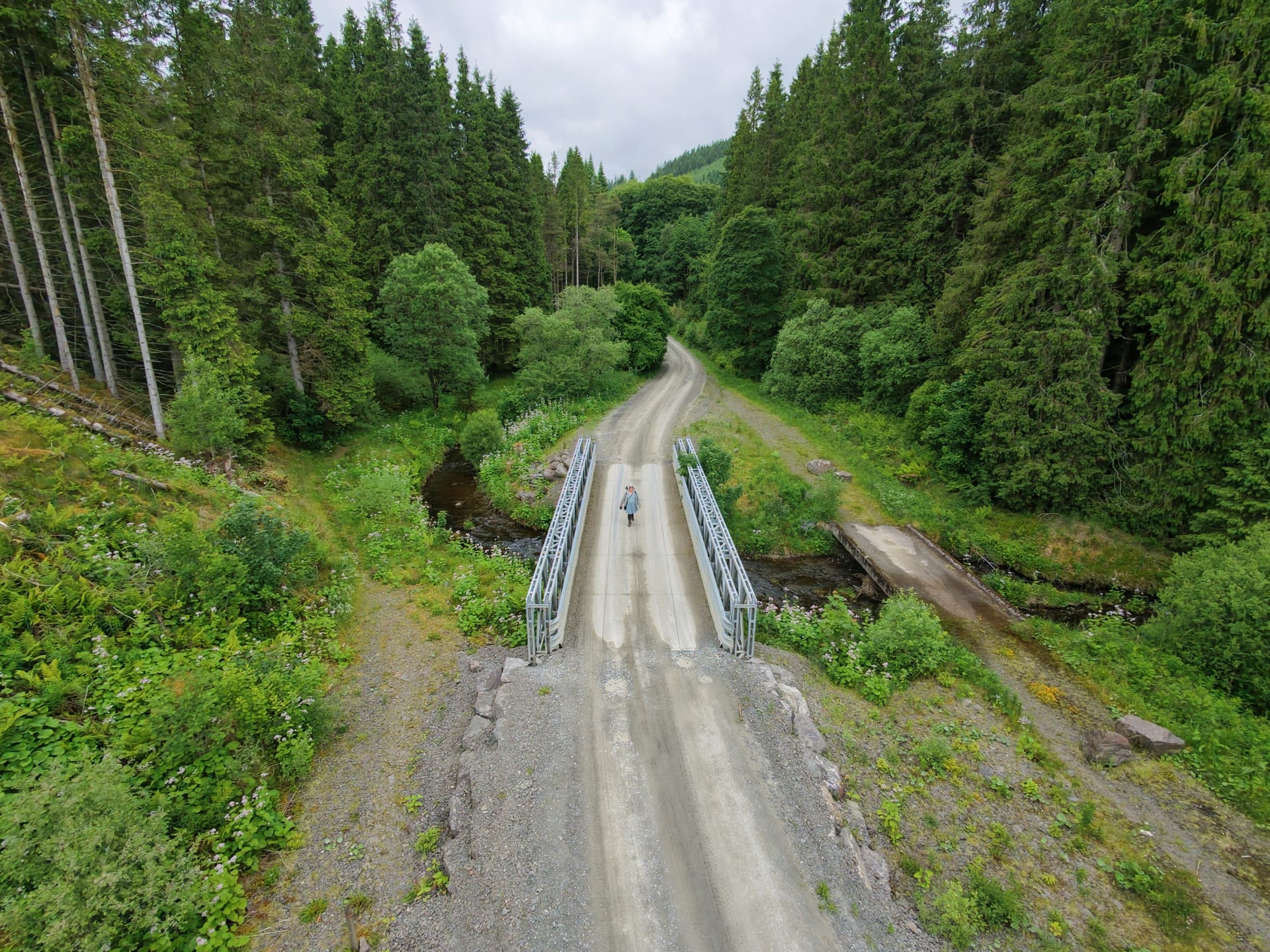
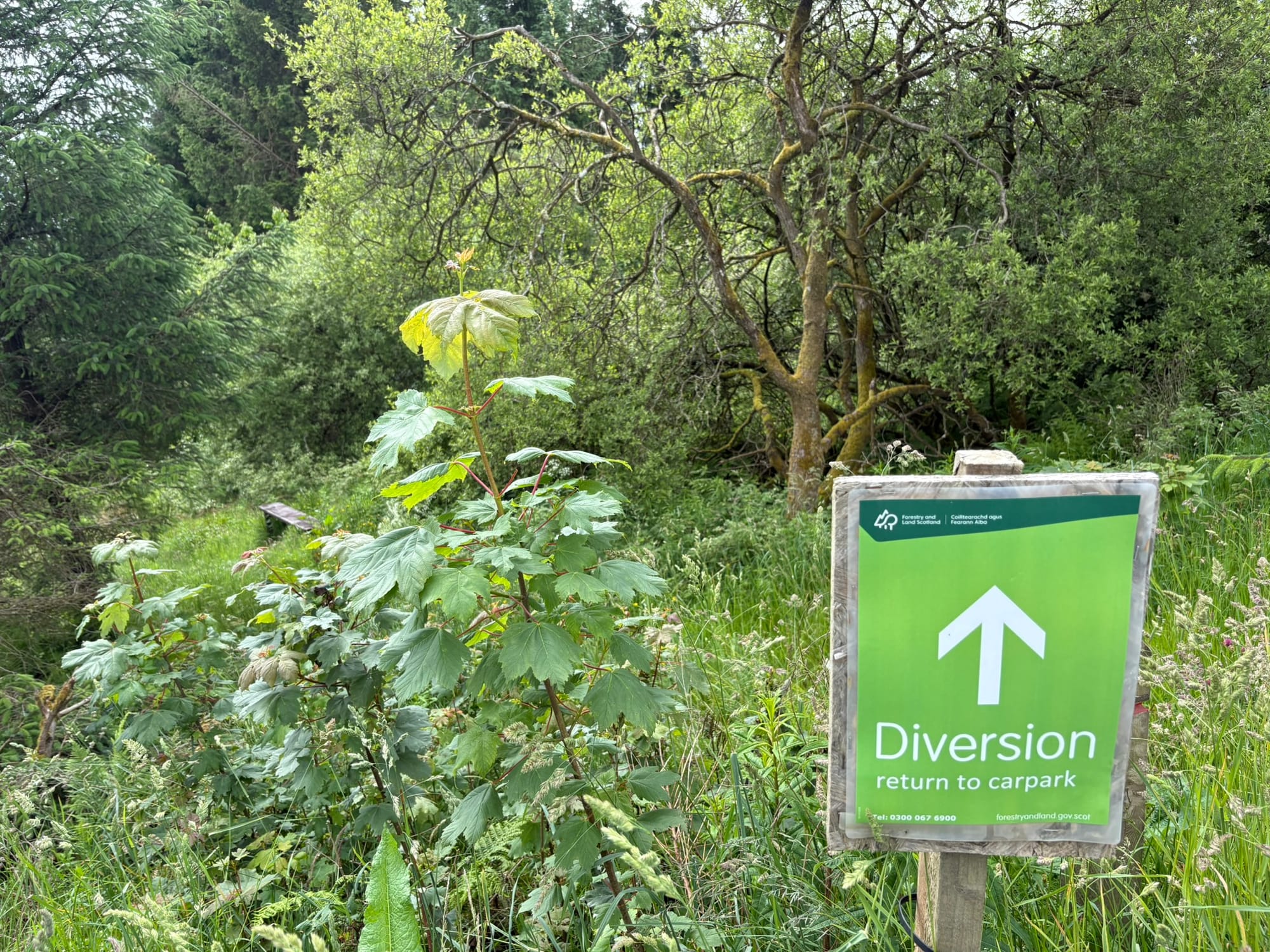
Where the institution retreats, the community often persists. The makeshift log bridge is a direct counter-narrative to the institutional "diversion" sign.
It represents an organic, persistent assertion of the "right to roam" and a refusal to allow bureaucratic risk management to sever the connection between people and place.
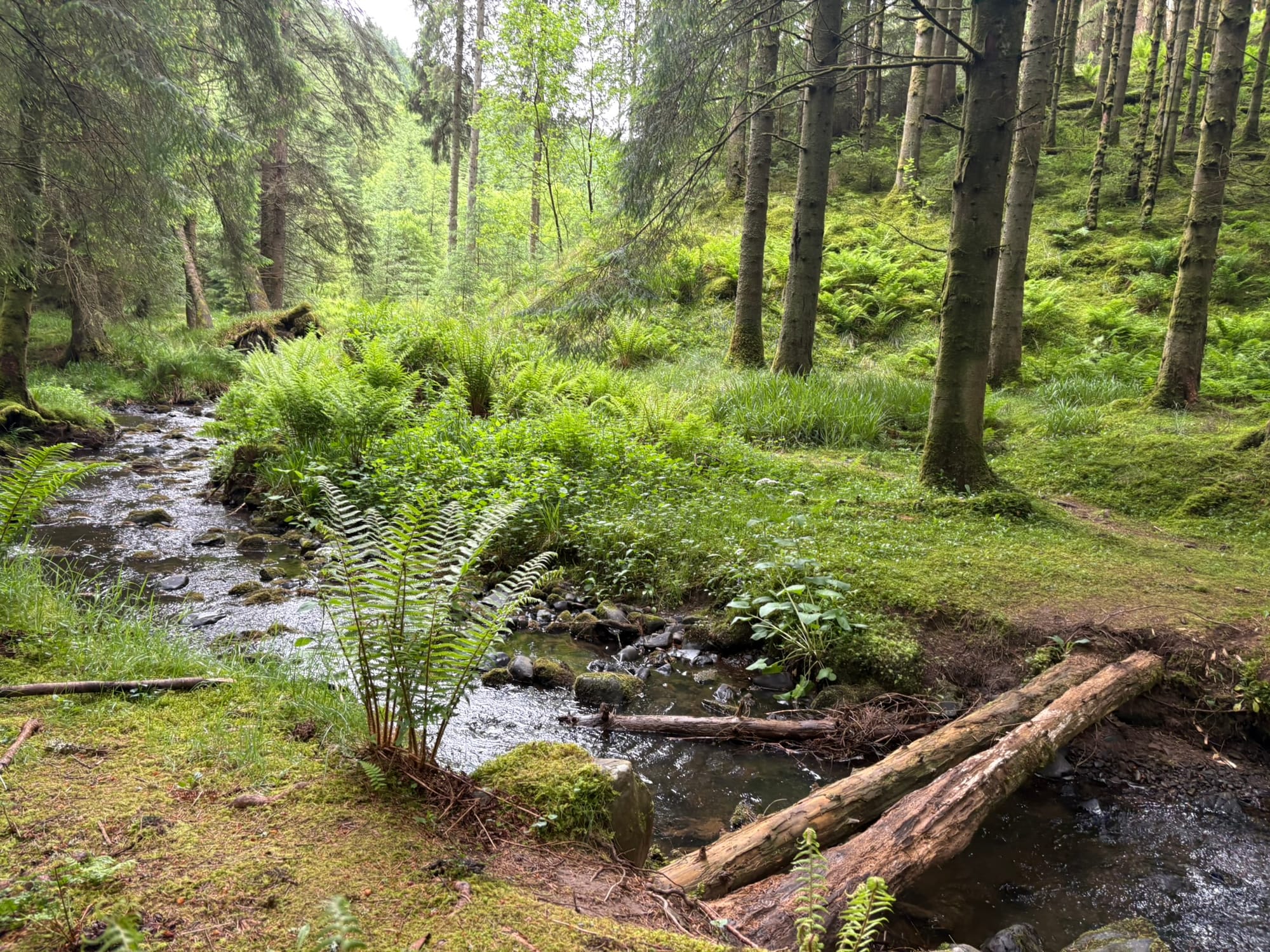
It is a literal and figurative bridge-building effort, carried out by those who refuse to let the land's history fade into a managed, off-limits resource.
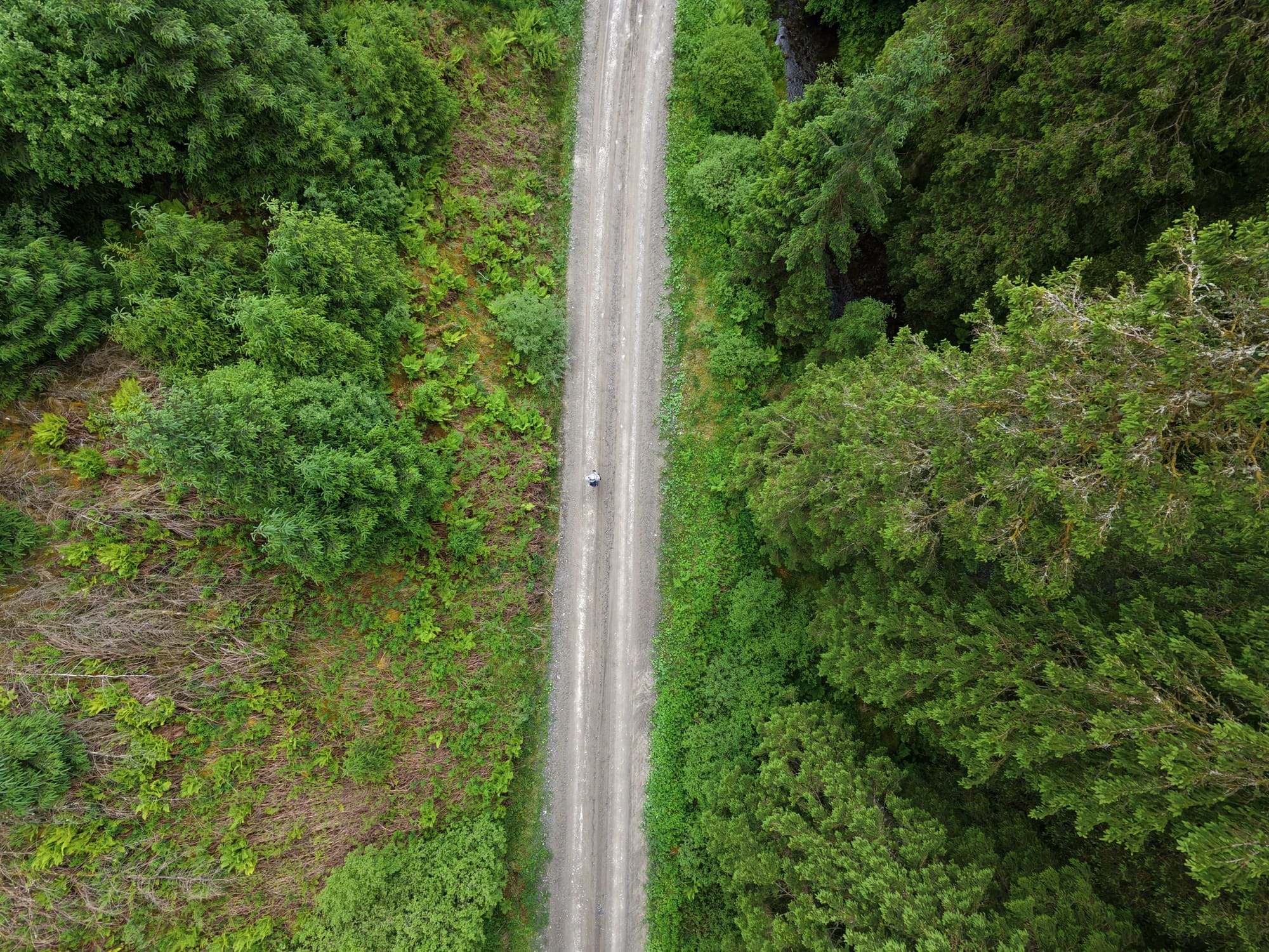
The Geometry of Extraction
Seen from the air, the forest reveals its true design. The rigid, compass-like intersections of the logging roads are engineered for extraction and efficiency, not for the human experience.
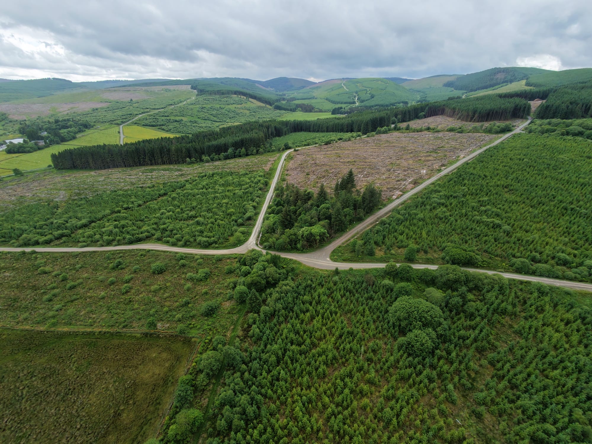
When we place the individual within this massive, industrial grid, the contrast is stark. We are navigating a space designed for machinery, a landscape where human movement is only permissible within the constraints of "authorised diversions".
The Monitored Landscape
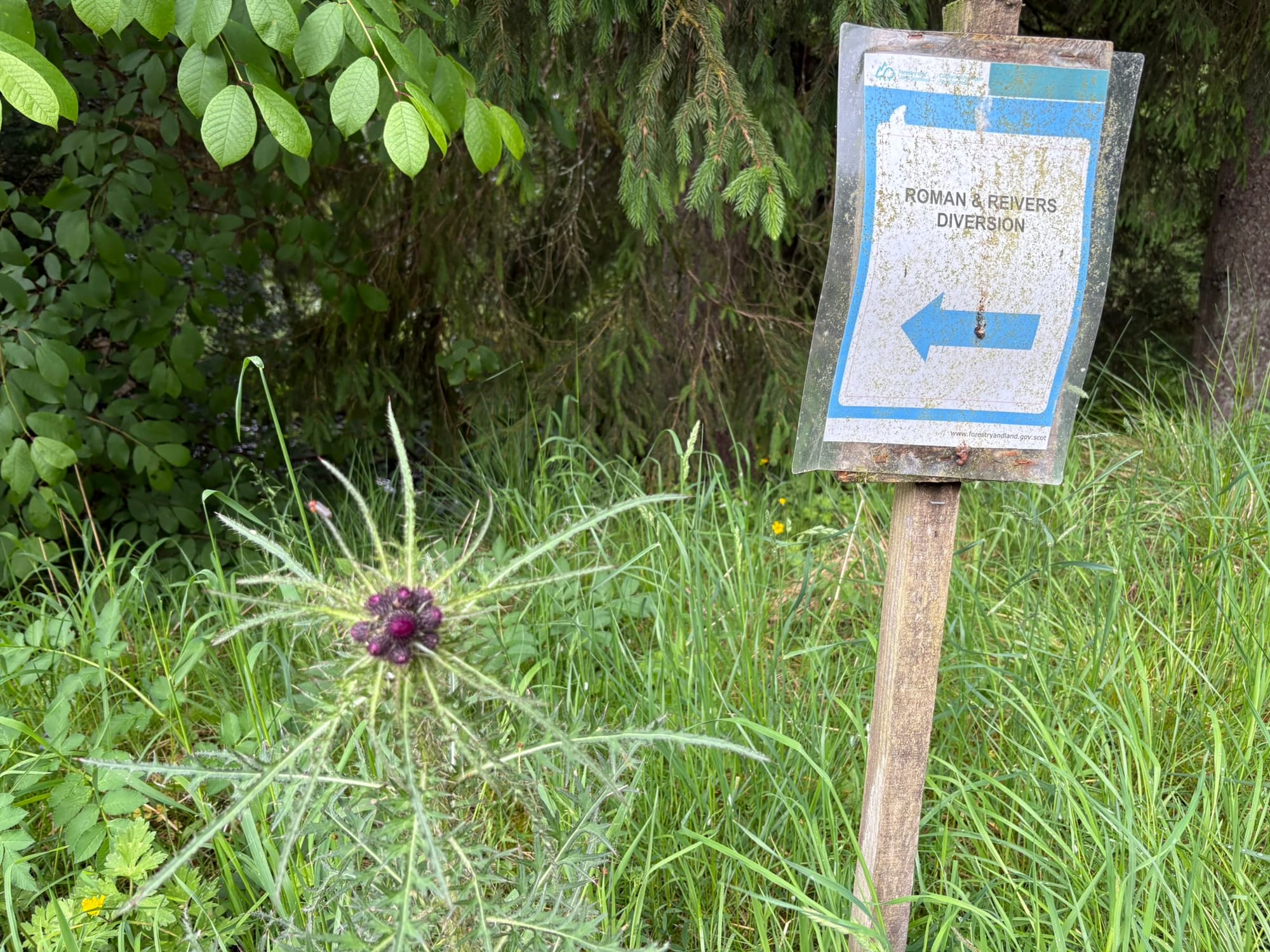
The physical and technological closure of the landscape is reinforced by a strategic succession of signage.
From the "Romans and Reivers" markers to the instructional "Diversion" signs, visitors are guided along a path that curates their experience and pre-emptively curtails exploration.
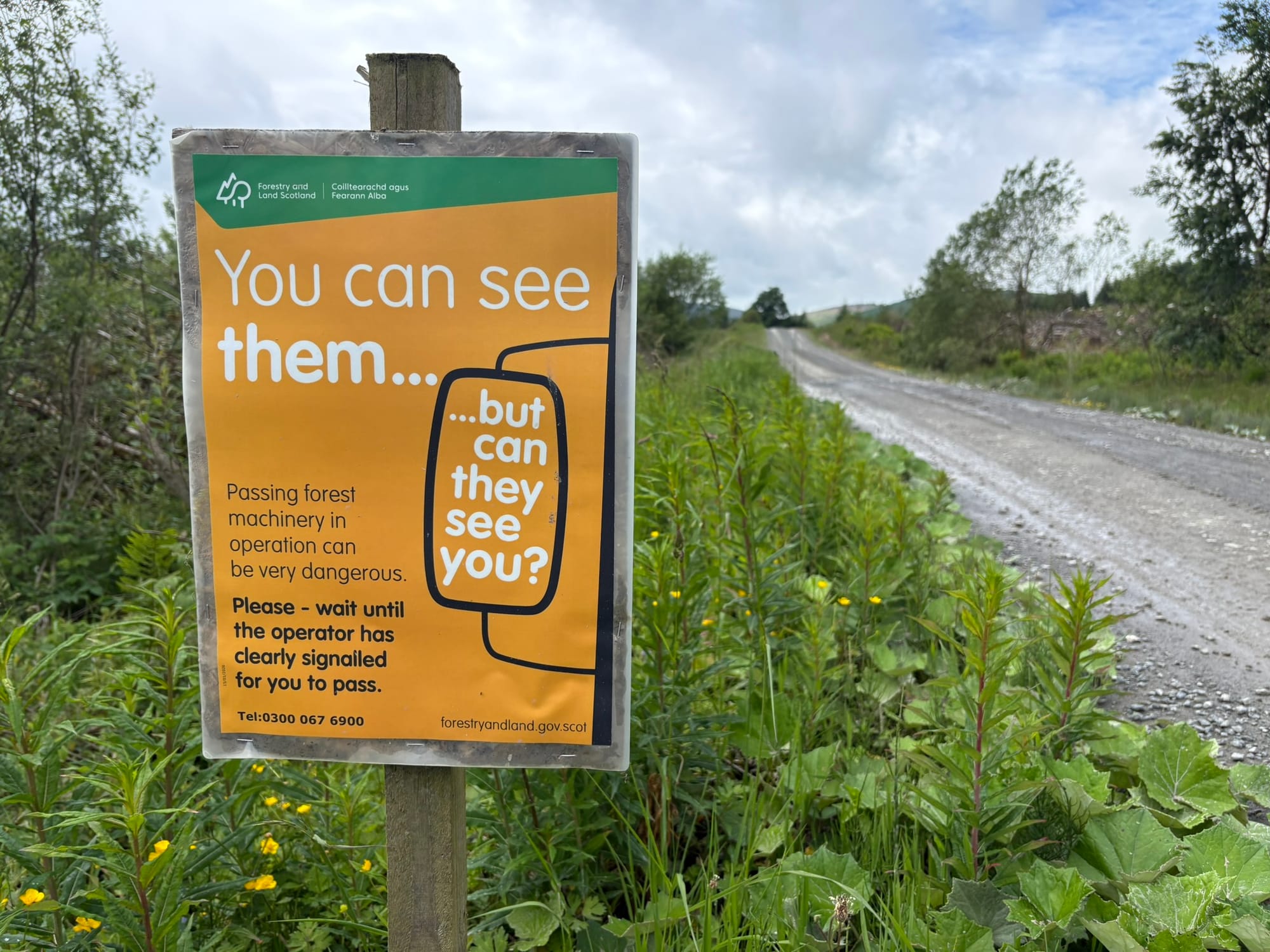
This is paired with a gated entrance that conveys "high security," surveillance cameras that frame the public as potential "criminals," and safety warnings that shift the burden of danger onto the visitor. While the institution may cite historical instances of unauthorised 4x4 use as a rationale for these restrictions, such concerns do not justify the wholesale degradation of public infrastructure.
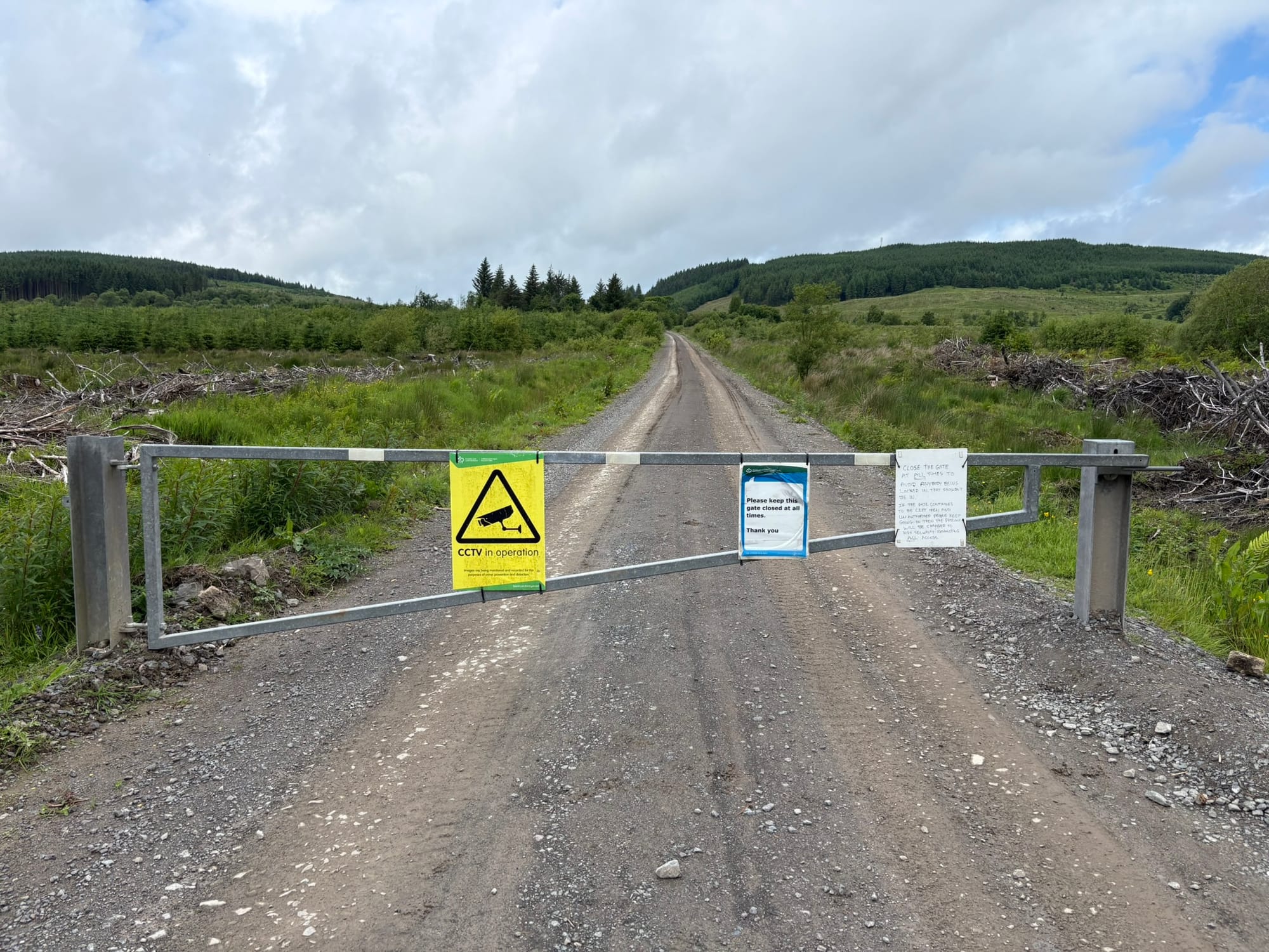
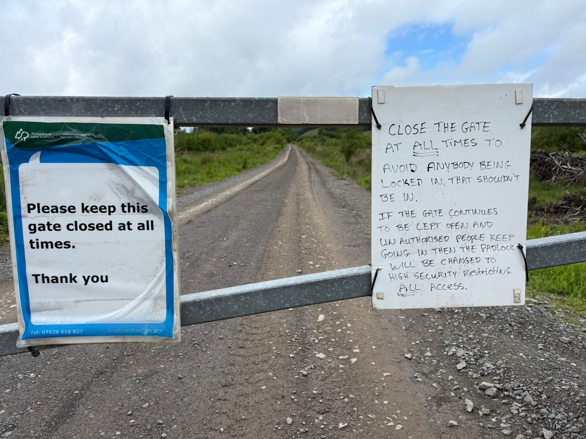

This institutional response—punishing the entire public for the actions of a few—represents a shift away from stewardship and toward a defensive, exclusionary posture that prioritises extraction over accessibility. It is the ultimate manifestation of the "architecture of absence"—where movement is subject to the institutional gaze, restrictive oversight, and instructional retreat.
Conclusion: Stewardship or Erasure?
There is a final, bitter irony in the "Welcome to Craik" sign. Set into a traditional stone wall, it acts as a facade of hospitality—a relic of a time when the "common good" was prioritised. Yet, it stands in mockery of the current reality: an invitation into a space where access is increasingly filtered by neglect, threats, and surveillance.
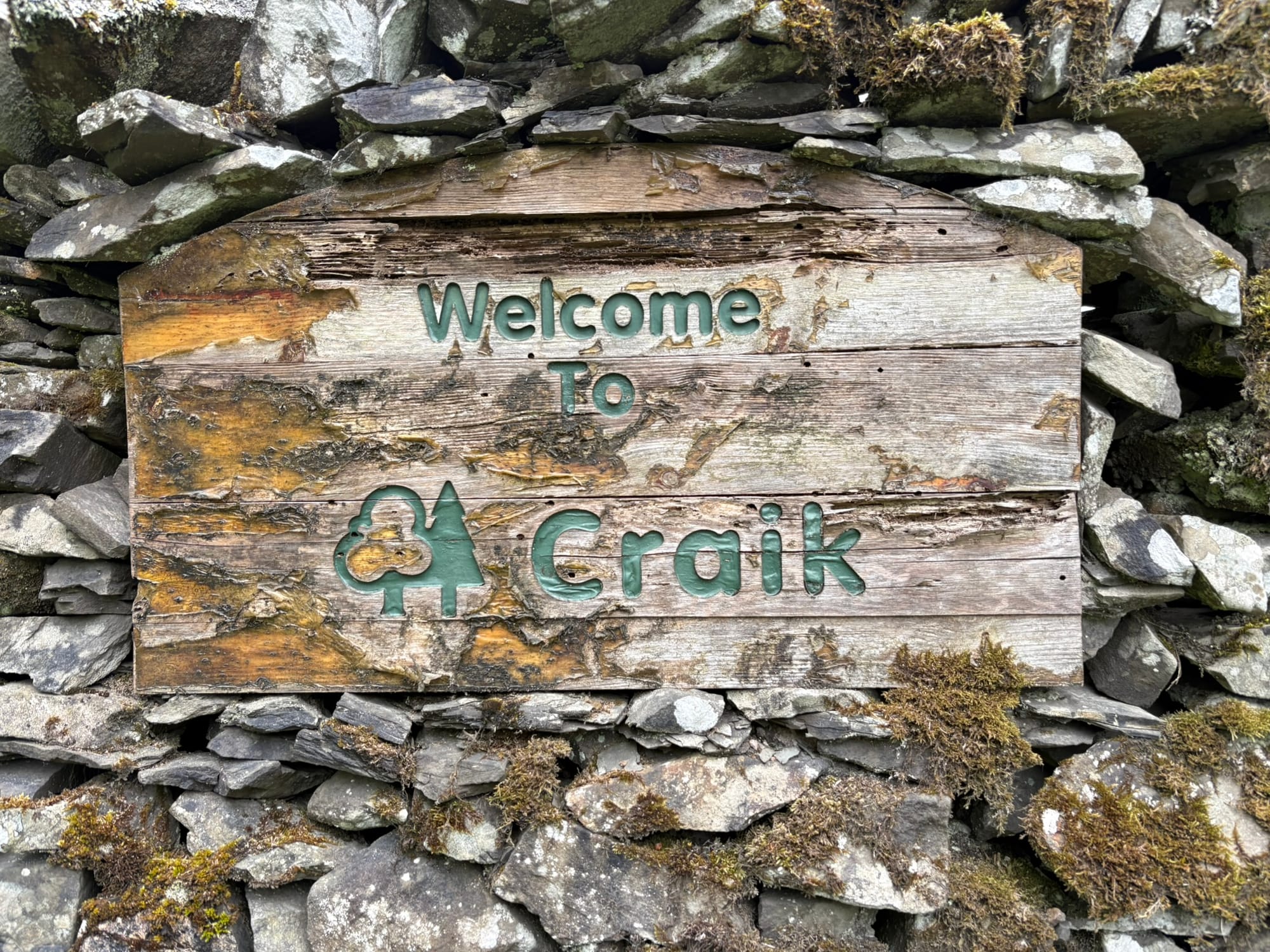
True stewardship would maintain the paths that connect us to the landscape’s past and present. Instead, we see a systematic erasure of land that has become increasingly hostile to public access.
By investigating these sites, we reveal the friction between top-down institutional control and the deep-seated, local desire to inhabit, document, and preserve the commons.
The question for us as independent researchers is: what remains when the official maps are cleared of their heritage, and how do we continue to document that which is being intentionally removed?