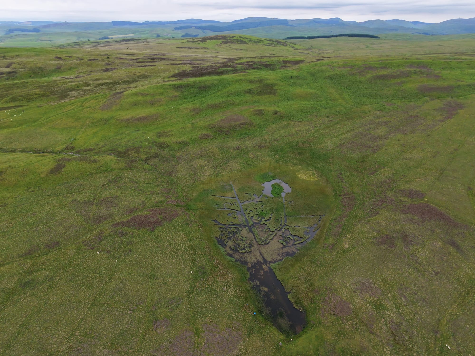
The journey begins at Woodburn, leaving the last signs of easy habitation behind as you strike out across the vast, rolling expanse of the moorland. Up here, under a heavy, shifting sky, the world feels stripped down to its bare essentials: expansive green ridges, pockets of dark heather, and rugged dirt tracks cutting thin lines through the earth. From a bird’s-eye view, the only breaks in the endless terrain are small, mirroring pools of standing water and tiny, clear burns slicing through the hillside.

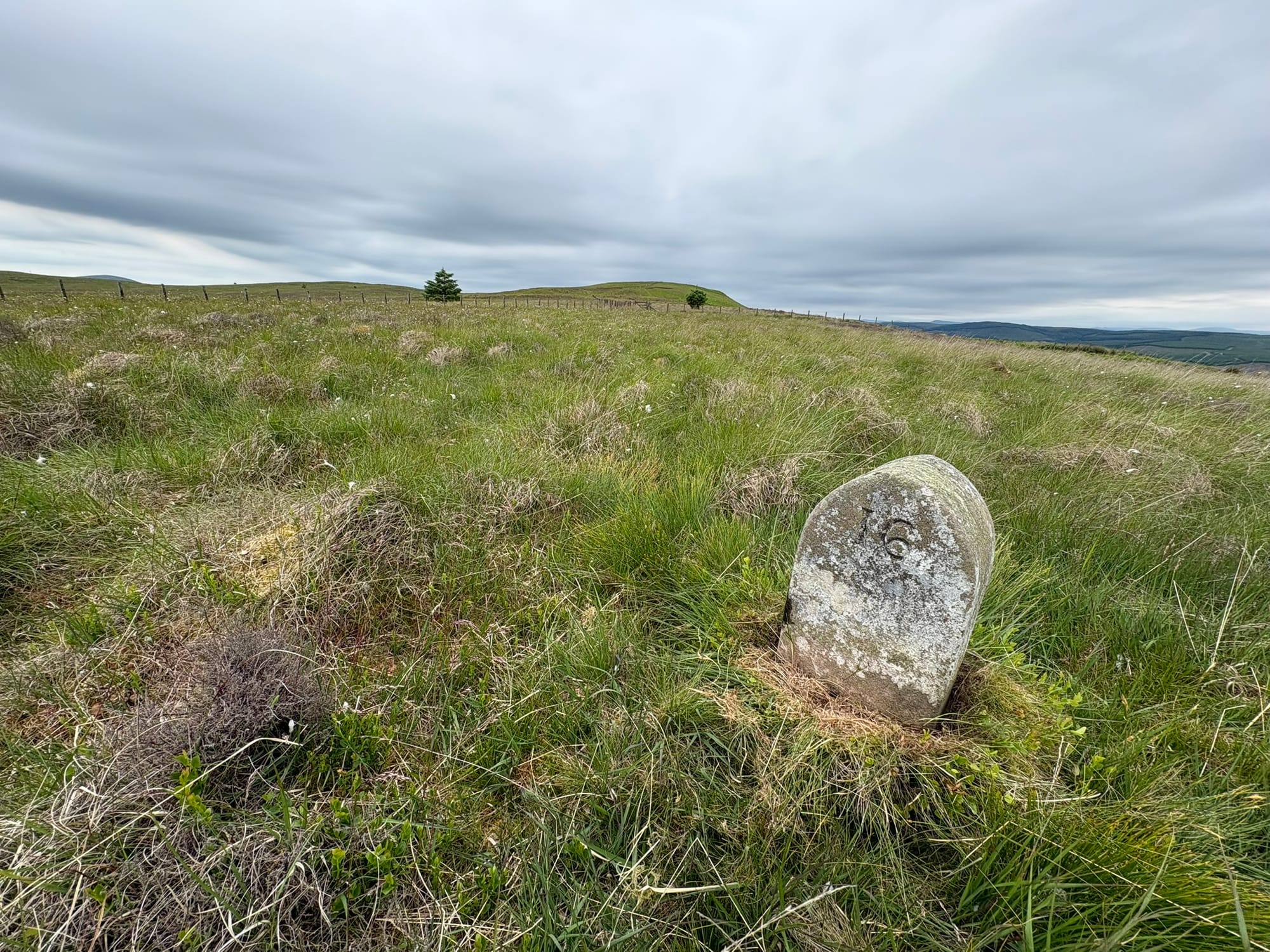
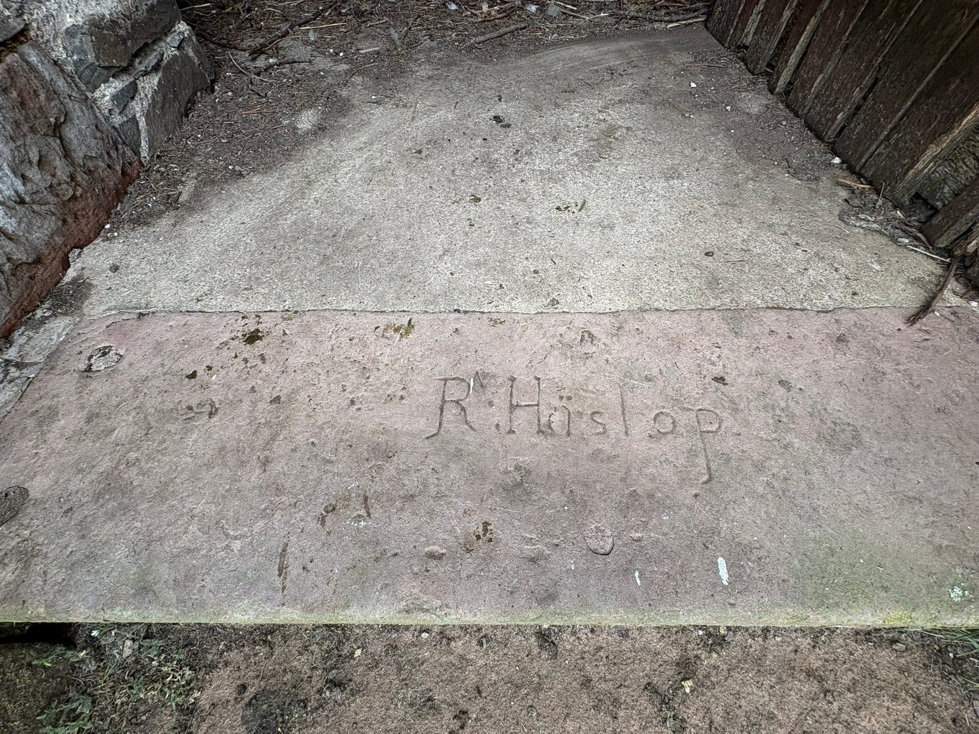
As you walk, you stumble upon literal reminders of this landscape's hidden constraints: an old, moss-covered boundary stone erupting from the grass, etched with a solitary number 16. It sits quietly by a fence line, an ancient, weathered marker dividing one man's empire from another.
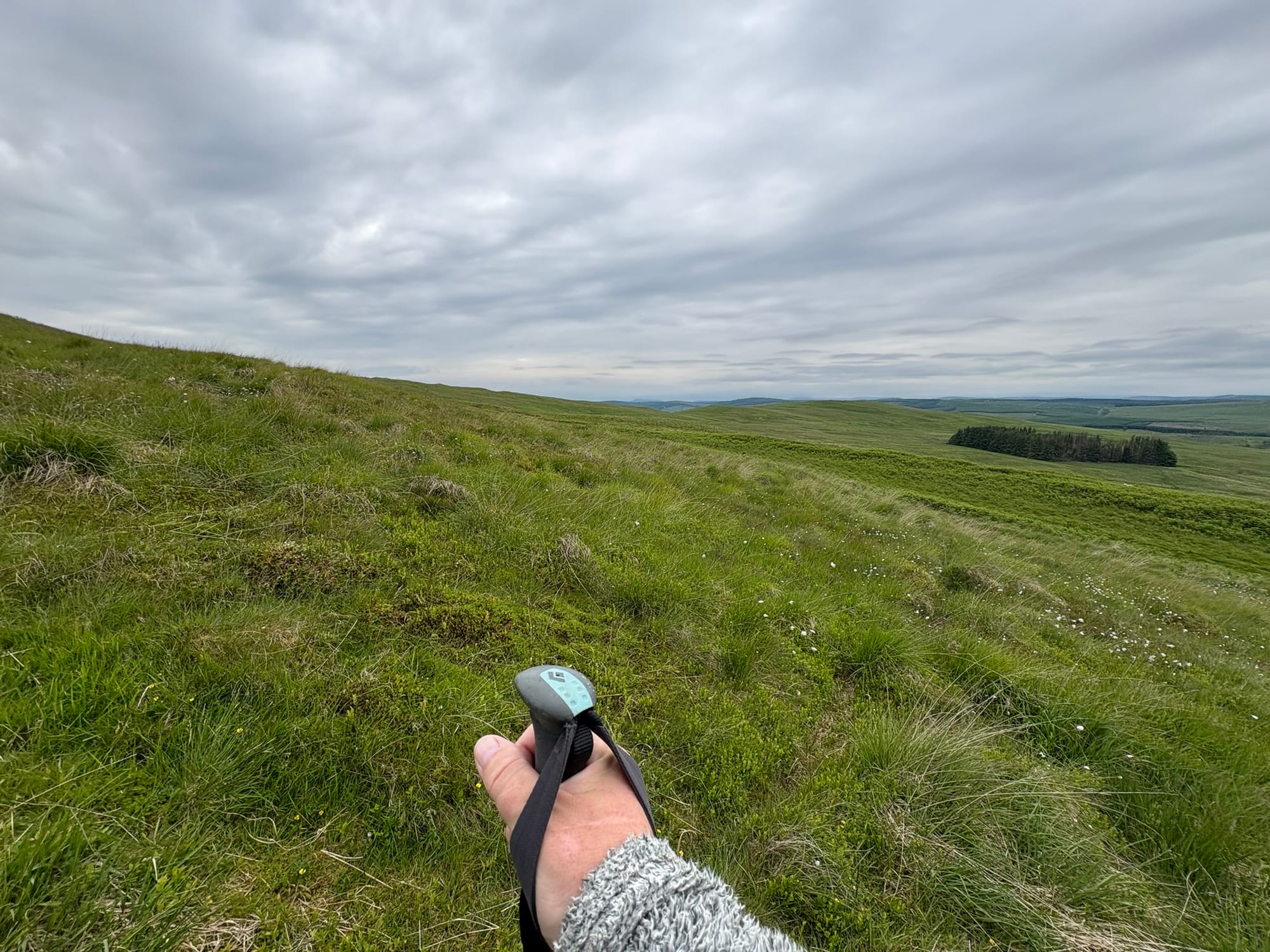
Pushing further with your trekking poles through the dense, waist-high seas of bright green bracken, the physical act of walking forces you to match the pace of the landscape.
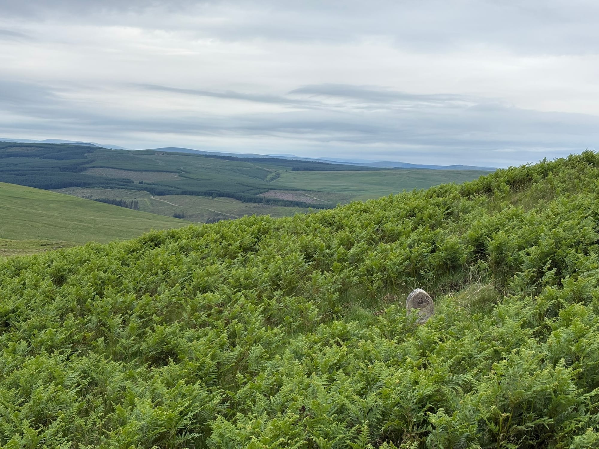
Hidden in the undergrowth, yet another weathered stone marker appears, half-swallowed by the ferns. Looking past it into the distance, the wild moor gives way to the rigid, geometric blocks of a massive forest plantation blanketing the far valley.
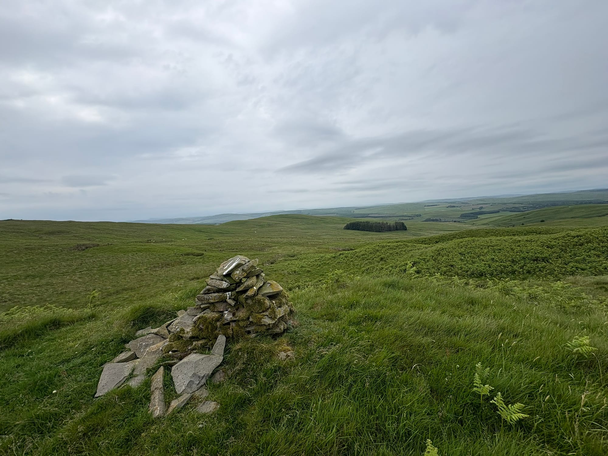
Navigating these subtle uplands, you encounter what at first glance looks like a simple stone cairn. But look closer, and you realise it is actually a ghost in the landscape—the collapsed, final remnants of an old stone wall. Once a solid barrier built to control, contain, and divide, it has slowly succumbed to time, leaving only a piled heap of rocks being claimed back by the moss.
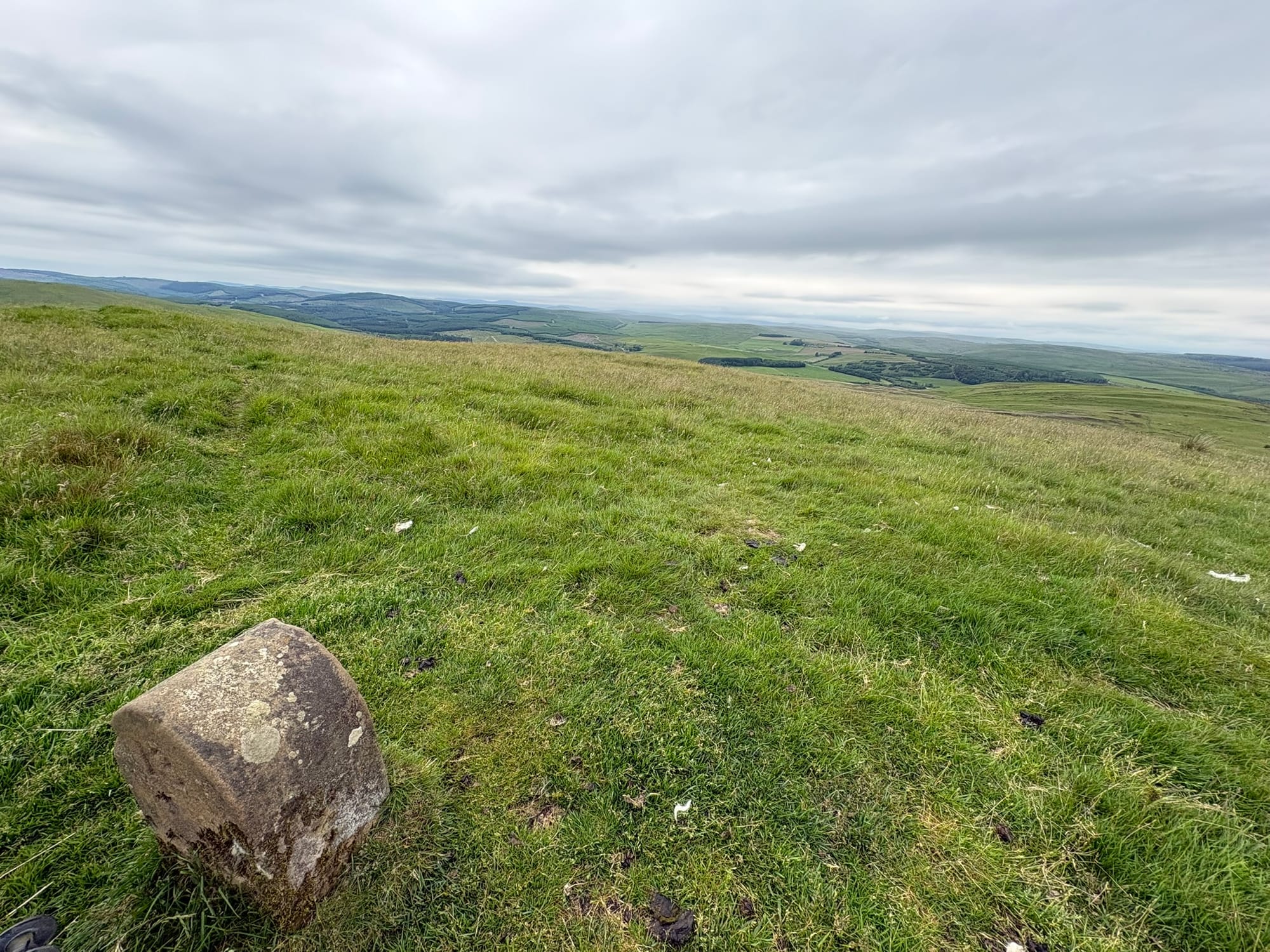
Finally, as you approach the lip of the valley, a low, rounded stone block sits right on the edge of the descent. From this high ridge, the ground drops away into the sweeping expanse below. It is a visual confirmation of what you can feel beneath your boots: heading over these high ridges toward the Ale Water valley, you quickly realise that the best way to travel here is chronologically—keeping pace with the land itself rather than the rigid ticking of a clock. Out here, the landscape feels ancient and unowned—but that is an illusion. Every single ridge has been profoundly shaped by whoever held the deeds.
Eventually, the endless undulating slopes and thick undergrowth demand their tax. Pushing through this terrain is hard work, and there comes a point where you simply have to drop your gear. Collapsing back into the hillside grass, using your backpack as a makeshift pillow right against the wire fence line, you look up at the gray Scottish sky and let the momentum of the hike grind to a halt.
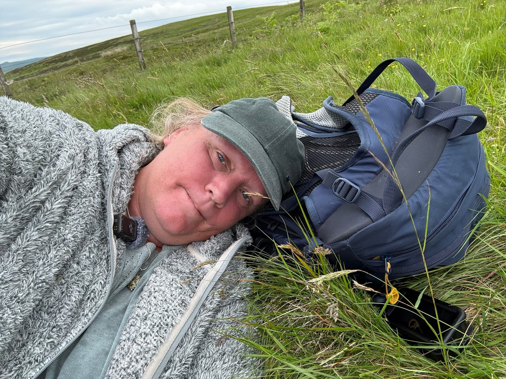
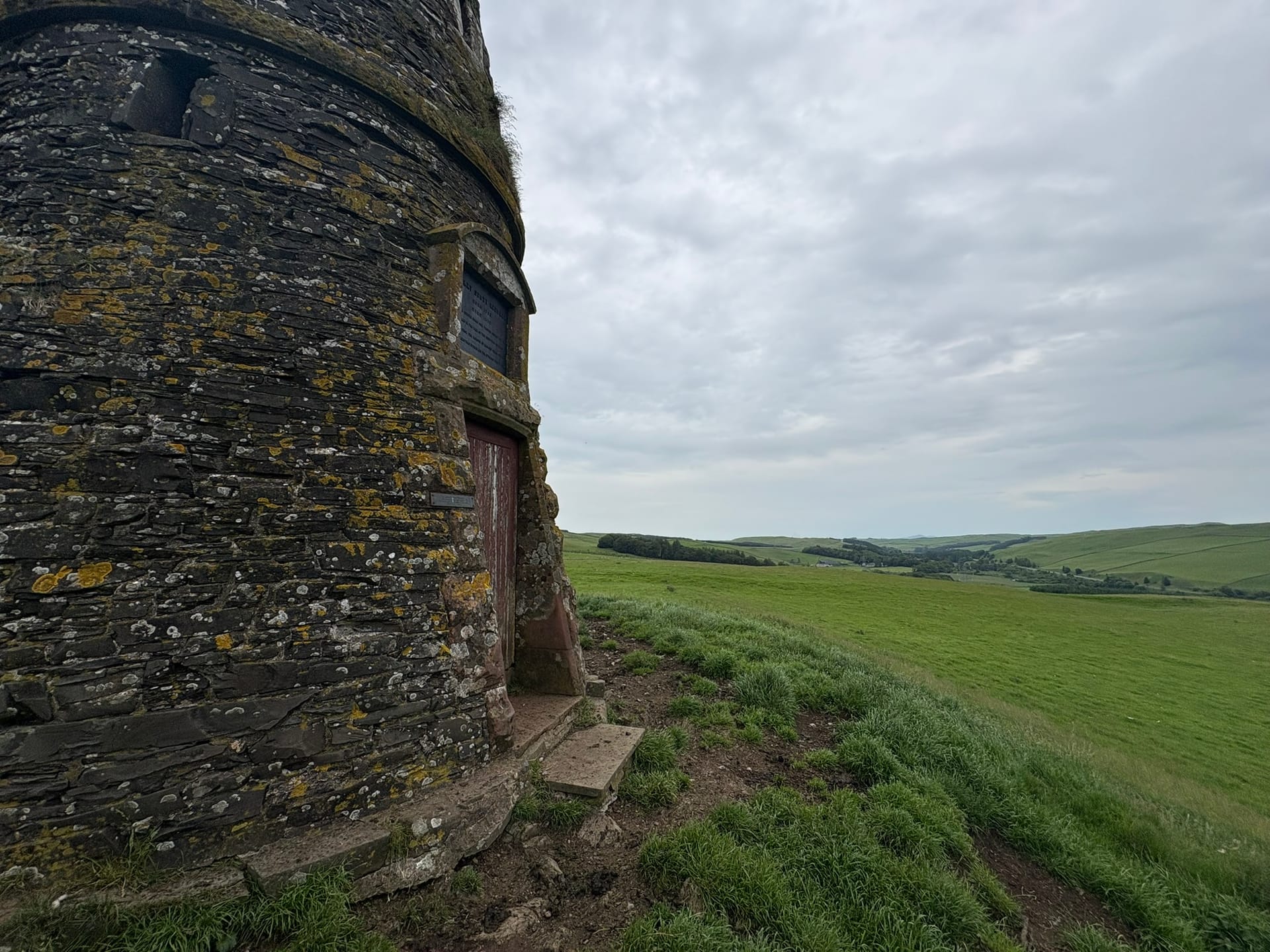
There is a quiet philosophy to a moment like this. In life and in landscapes, errors and failures are inevitable. Boundaries crumble, plans fracture, and structural cracks form under pressure. But true character—whether in the resilience of a professional fixing a mistake with precision or the earth slowly swallowing up an old stone wall—is defined by how we adapt and react to those fractures. This pause provides exactly the necessary friction to truly understand the land. Once you catch your breath, it transitions into a deliberate midday stop. Waiting for a camp stove flame to catch in the open air, listening to the sharp hiss of the gas burner cutting through the silence as the water begins to boil, you are stripped of distractions and forced to sit with the immediate present. But just over the next crest, sitting isolated and massive against the horizon line, is an intentional reminder of a complicated past: The Riddell Monument.
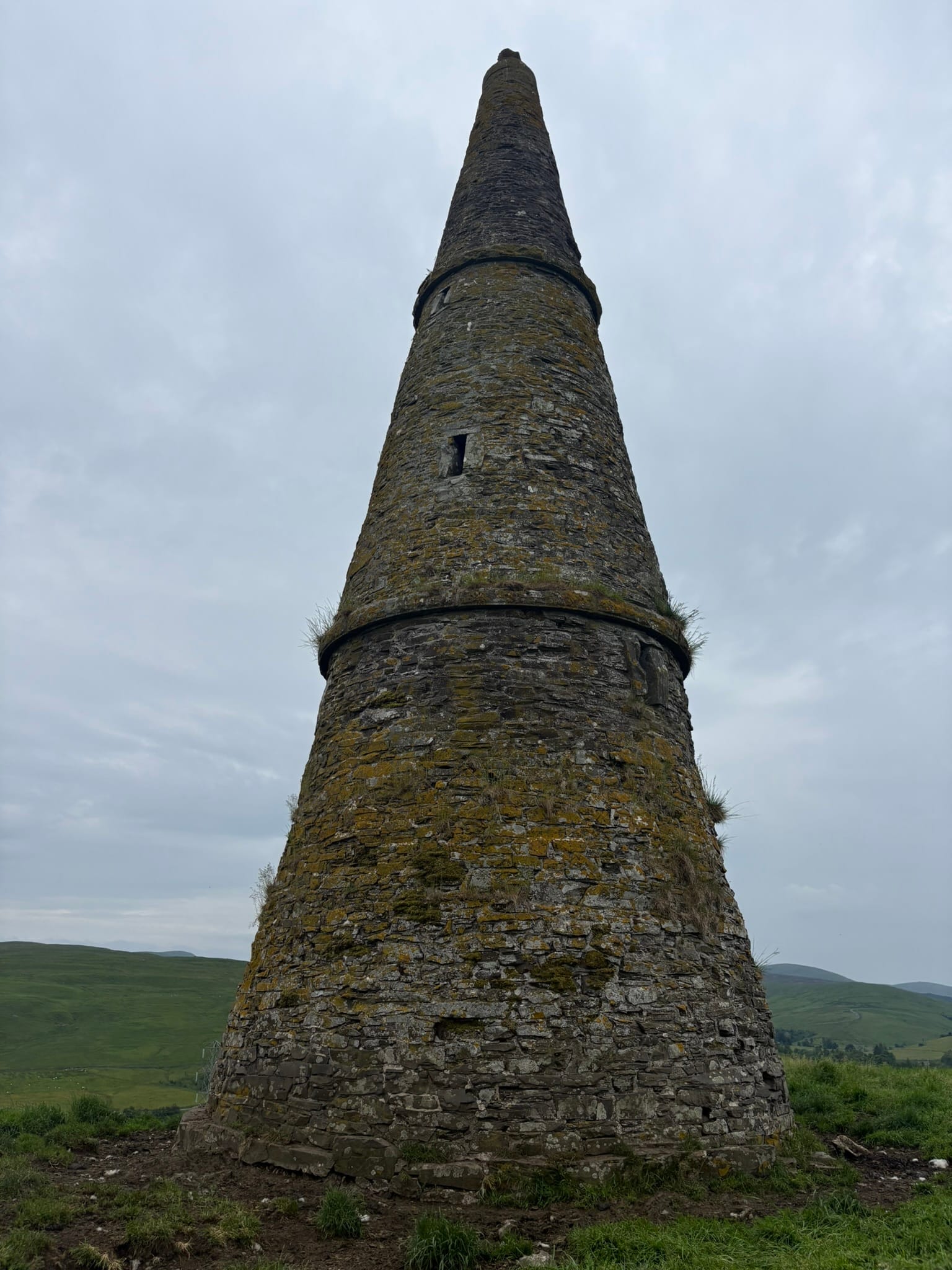
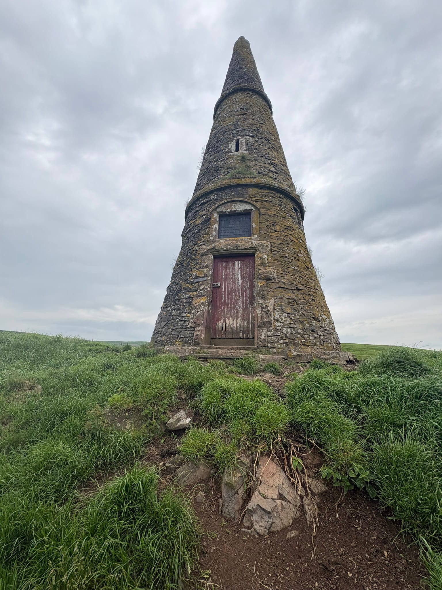
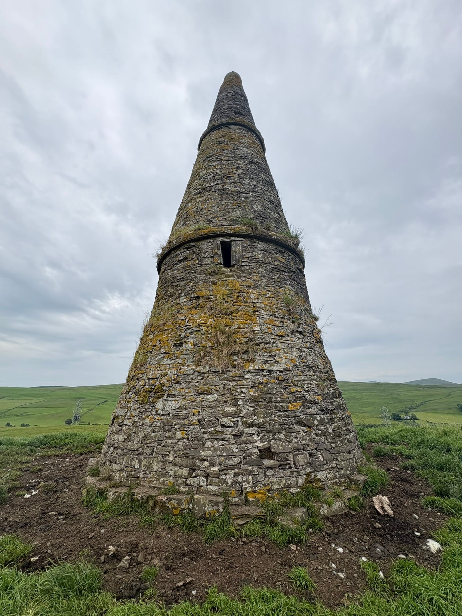
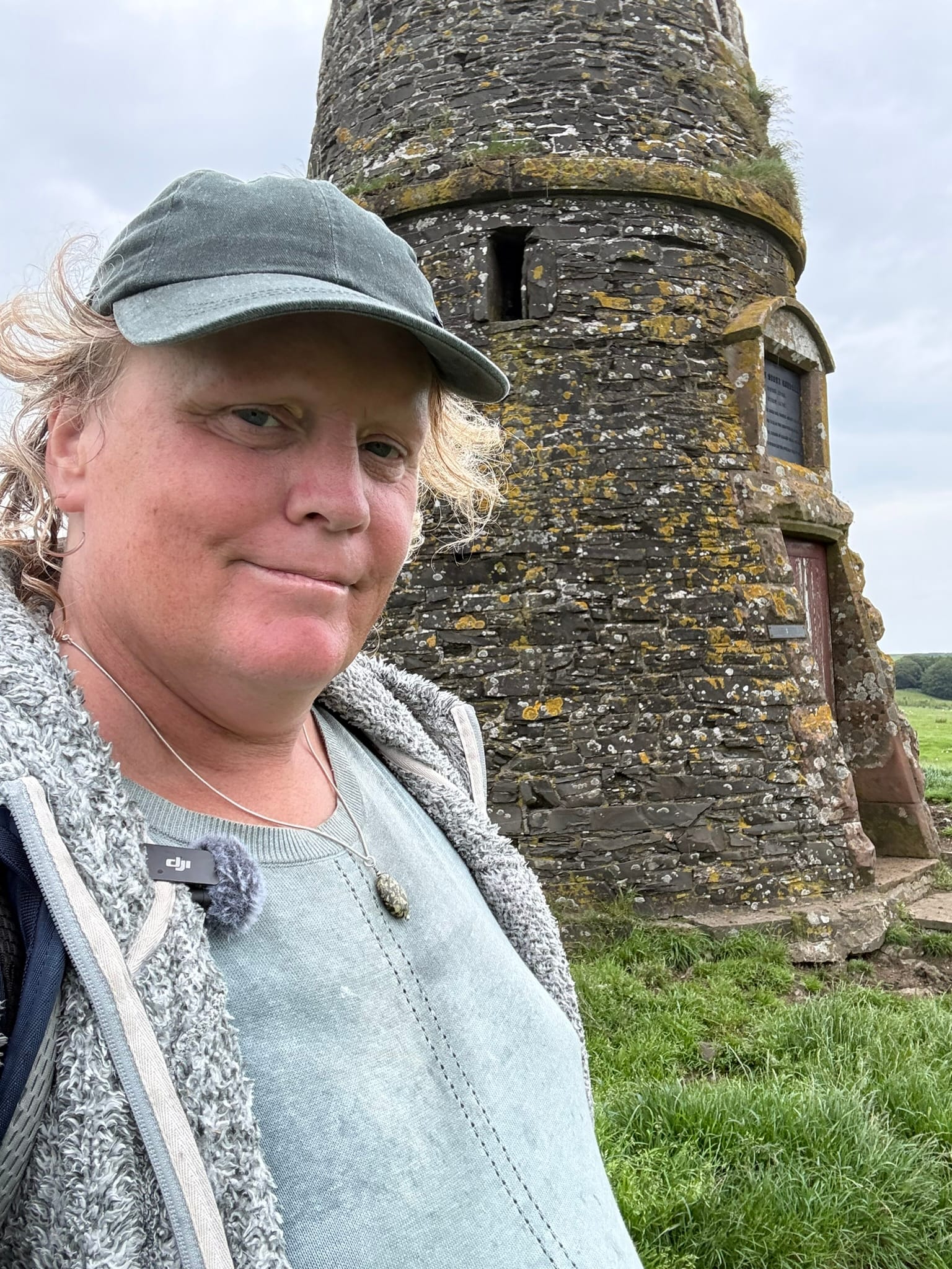
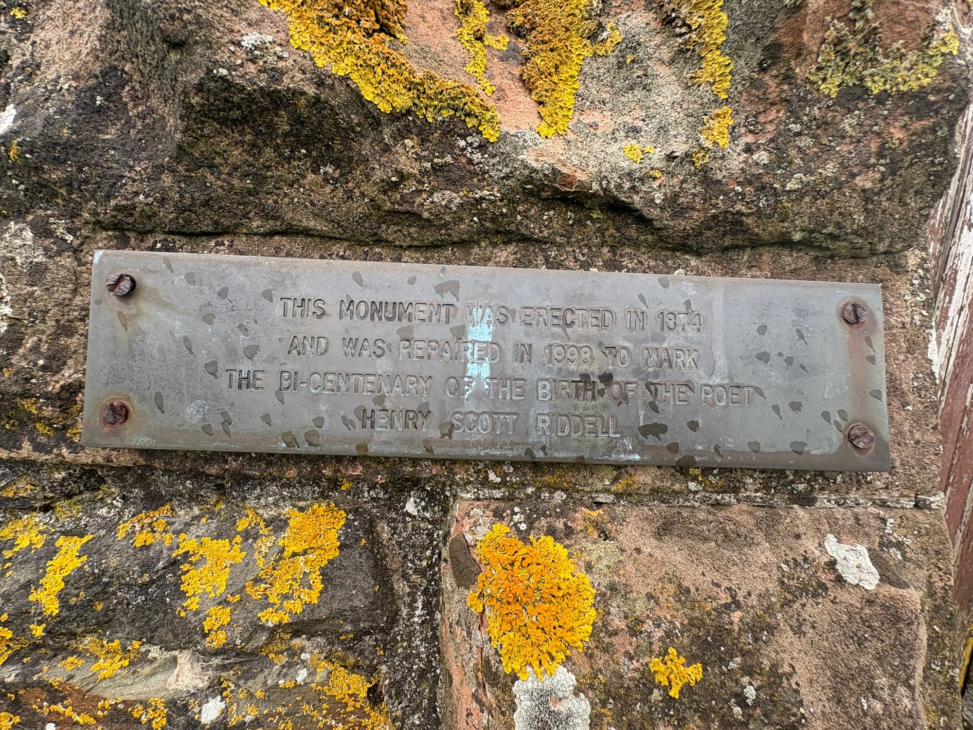
Breaking over the final incline, the 13-meter stone tower appears striking and solitary. This monument was erected for Henry Scott Riddell—a man celebrated as a shepherd turned poet.
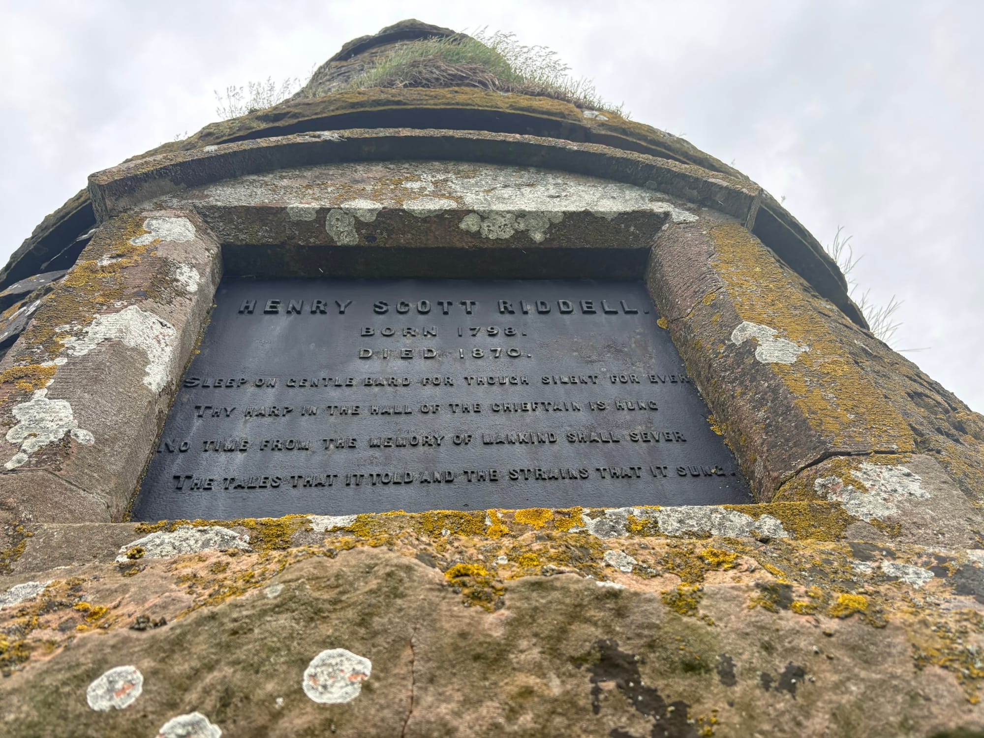
If you read the standard history plaques, it is remembered as a romantic tribute to a local, working-class voice, heavily funded by the wealthy Duke of Buccleuch. It feels like a story of pure, historical benevolence.
But history is rarely that simple. In the 19th century, aristocratic benevolence always came with a receipt.
To put it bluntly: a shepherd who writes songs romanticising rural poverty is safe; he doesn't challenge the brutal reality of the land clearances or question the system that kept his peers destitute. By building him a massive stone monument, the landed gentry didn't just honour a poet—they co-opted him.
They took a raw, working-class life and repackaged it into a harmless, idealised postcard to decorate the borders of their massive estate. The monument wasn't built to elevate the working class; it was built to sanitise them.
Geographic coordinate: 55°21'00.7"N 2°55'54.4"W